NEWSROOM
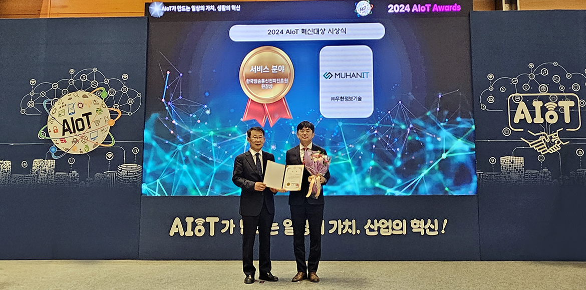
[AIoT Awards] MuhanIT, AiMAPS 3DMapper
AiMAPS 3DMAPPER is a drone-mapping software for building digital twin and metaverse environments. It received the Korea Broadcasting and Communications Radio Promotion Agency's Award for AIoT Innovation in 2024.
This software is driven based on the 3D modeling automation function developed by MuhanIT. It supports 3D mesh modeling automation, RGB, thermal imaging, and multispectral using RGB. Image data acquired through drone control can be automatically converted into 2D orthogonal images and 3D modeling.
It boasts high compatibility, being the first Korean image processing software to receive GS certification level 1. Currently, customers include LX Korea Land Information Corporation, Korea Water Resources Corporation, Ministry of Land, Infrastructure and Transport, and local governments.
▶ Blog https://blog.naver.com/muhan_it/223639871789
▶ etnews https://www.etnews.com/20241030000318


