COPYRIGHT©2022 MUHANIT. ALL RIGHTS RESERVED. Designed by WebSite.co.kr
홈 >BUSINESS > NEXT CONVERGENCE
NEXT CONVERGENCE
Establishment of AI-based customized service for industrial site to improve productivity, stability, and environment
- Anomaly detection algorithm
- Environment-based AI Autonomous Manufacturing System
- AI-based diagnostic/quality inspection system
- Digital Twin-Based Integrated Control System
- Digital transformation of manufacturing.
- Responses to strengthen productivity and competitiveness in manufacturing.

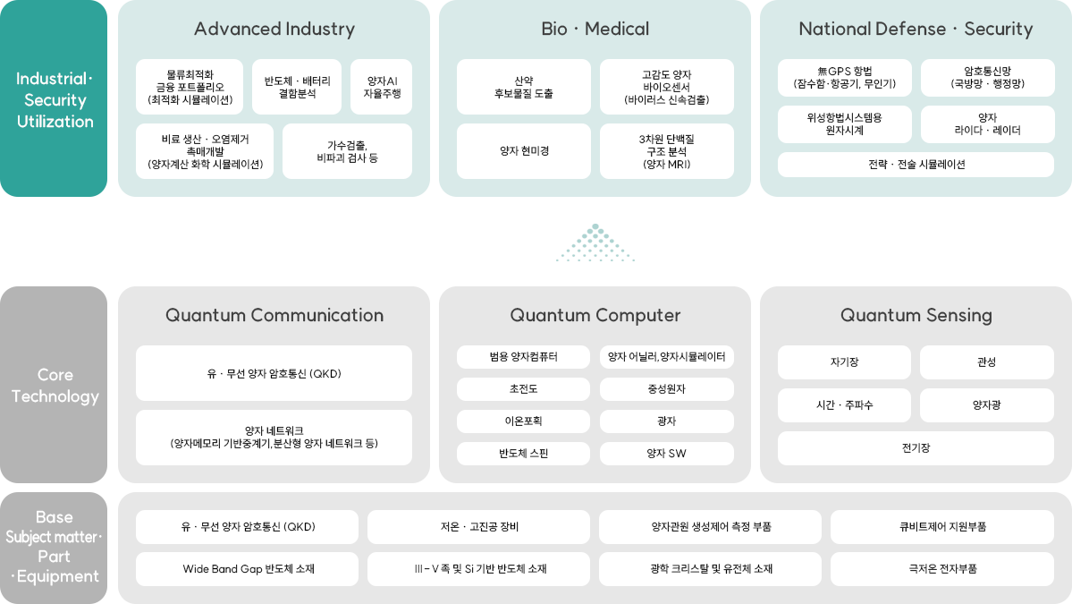
Expansion of business area to high-tech industries using quantum technology
- Quantum encryption
- Quantum sensor (smell, gas detection sensor)
- AI-Based Image Analysis Solution
- Disaster safety simulation
- Expanding business areas to high-tech industries through quantum technology development and utilization

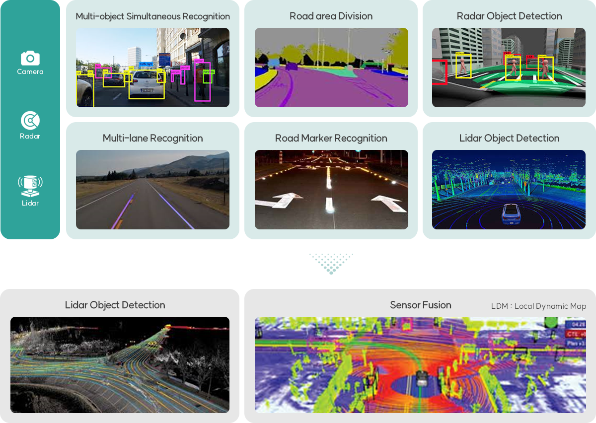
Map generation and risk detection through AI object recognition for safe driving of future mobility
- Building Learning Data for AI Model Development
- Development of AI image reading model - Peripheral vehicle, pedestrian, - lane, traffic signal, obstacle location, road condition (lane, pothole, crack) recognition
- Implementing AI Object Recognition Models for Different Environments
- Application of Preventive Safety Technology for Safe Driving of Autonomous Vehicles
- Presenting the possibility of utilizing preventive safety technology in the future mobility industry


