


COPYRIGHT©2022 MUHANIT. ALL RIGHTS RESERVED. Designed by WebSite.co.kr
HOME >BUSINESS > NOTICE
NOTICE
MuhanIT, Participation in a meeting of new technologies for public survey implementers (December 26, 2022)
마스터
2022-12-27
Number of views 34,884
Under the theme of introducing smart construction technology linked to spatial information and digital twin on December 26th,
MuhanIT participated in a technical meeting for public survey implementers hosted/organized by the National Geographic Information Service and the Spatial Information Quality Management Service.
Overview of the New Technology Meeting for Public Survey Implementers
- Topic: Introduction of smart construction technology linked to spatial information and digital twin
- Date and time: December 26, 2022 (Monday) 15:00 to 17:00
- Location: International seminar room on the 3rd floor of the Korea Expressway Corporation Road Traffic Research Institute
- Attendees: Smart construction project group, underground safety evaluation center, public survey implementers, performers, etc
- Detailed schedule: Product exhibition > Seminar > Group photo and closure
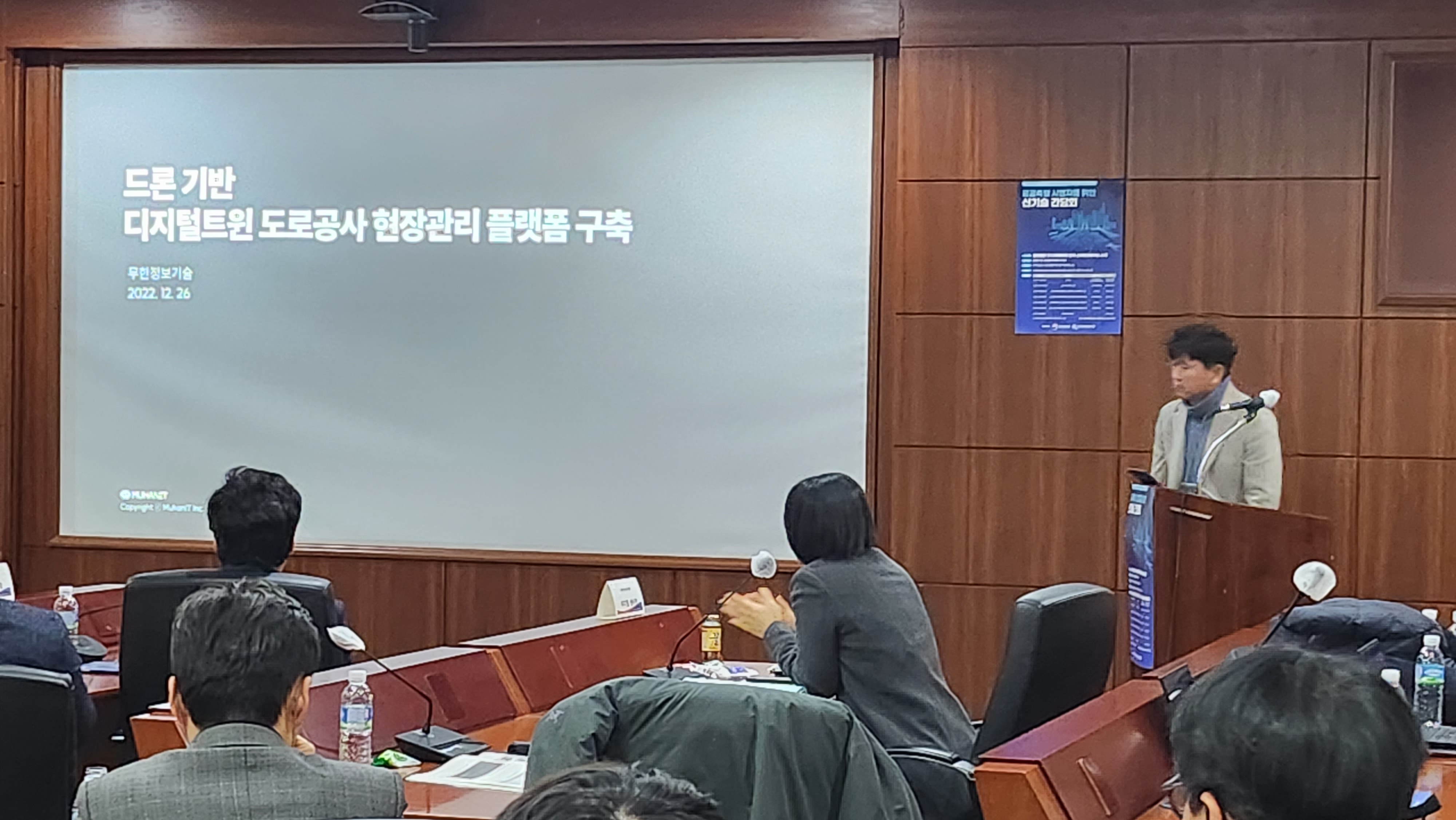
The presentation was conducted for 20 minutes according to the presentation topic of introducing smart construction technology linked to spatial information and digital twin.
MuhanIT presented the theme of establishing a drone-based digital twin road construction site management platform.
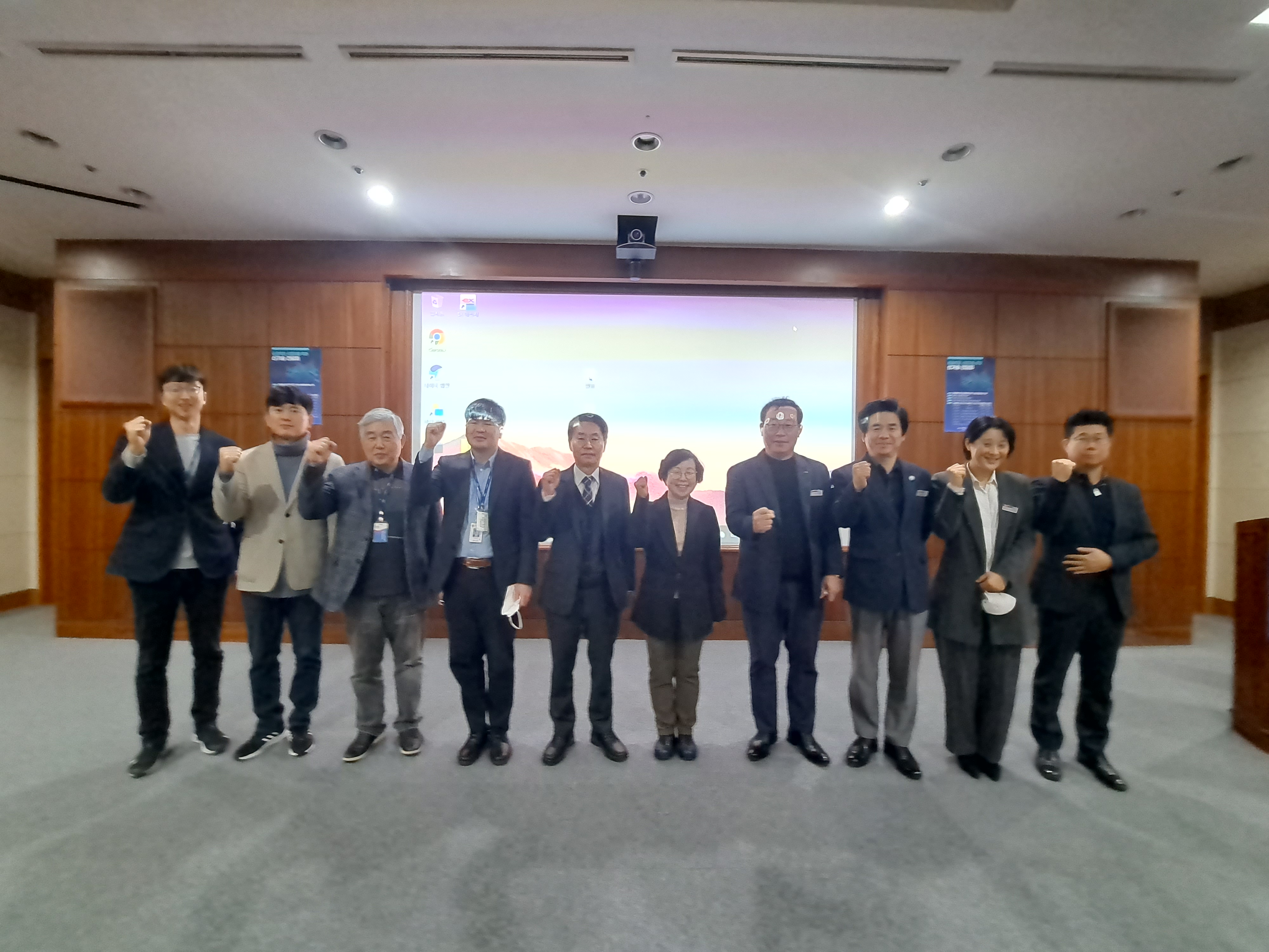
After the meeting, all participants took commemorative photos with Kim Hye-won, director of the Planning Policy Division of the National Geographic Information Service, at the center.
More information can be found on the MuhanIT's blog below.
https://blog.naver.com/muhan_it/222967025238
MuhanIT CO.,
Registration # : 873-88-00217 CEO : KyungRok Bae, MyungHwa Lee
HQ : #706, 12, Dangsan-ro 2-gil, Yeongdeungpo-gu, Seoul, Republic of Korea Direction
Branch : 2th floor, 154, Pilmun-daero, Dong-gu, Gwangju, Republic of Korea
T. 02-6952-0825 F. 02-6952-0826 E. admin@muhanit.kr Privacy Policy
Registration # : 873-88-00217 CEO : KyungRok Bae, MyungHwa Lee
HQ : #706, 12, Dangsan-ro 2-gil, Yeongdeungpo-gu, Seoul, Republic of Korea Direction
Branch : 2th floor, 154, Pilmun-daero, Dong-gu, Gwangju, Republic of Korea
T. 02-6952-0825 F. 02-6952-0826 E. admin@muhanit.kr Privacy Policy
